Satellite Tracking Ferruginous Hawks
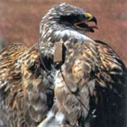
Hill Airforce Base, Utah Hill AFB Information: Hill AFB is home of the 338th Fighter Wing and 419th Fighter Wing: both are F-16 Fighting Falcon units. Hill AFB also provides maintenance facilities for C-130 aircraft. Approximately 1 million acres is directly controlled by Hill AFB including a core area of 6,690 acres
Read MoreSteller’s Sea Eagle Reseach In Russia
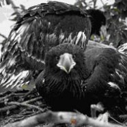
Problem/Background At present, the world’s population of Steller’s sea eagles (Haliaeetus albicilla, SSE) appears to be stable and not endangered; however, this species is listed as a Bird to Watch. Its breeding range is located within remote, restricted areas in Russia – areas where access can be achieved only by air or sea. Indeed, it is likely that the very remoteness of these areas has protected the Steller’s sea eagle from large-scale human interference, and in-depth scientific scrutiny. The Steller’s sea eagle is the largest of all the sea eagles, weighing between 5 and 9 kg...
Read MoreSatellite Tracking Feral Horses and Pronghorn Antelope
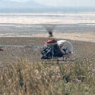
Dugway Proving Ground, Utah Dugway Proving Ground (DPG) encompasses 1,300 square miles and houses the U.S. Army RDT&E Command’s Chemical, Biological, and Radiological Weapons School, as well as a U.S. Air Force Flight Test Center. We successfully tracked and monitored via satellite Pronghorn (a big game species) and wild horses. Military land managers must provide habitat for and minimize environmental disturbance to these species. Our system provided information about the movements of these animals remotely, without impacting military activities. Otherwise, the same data would...
Read MoreSatellite Tracking White Pelicans and White-faced Ibis
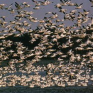
Naval Air Station Fallon / Stillwater NWR, Nevada Flocking birds are prevalent in the vicinity of NASF, which is situated adjacent to two major wetlands in arid Western Nevada.
Read MoreAssessment of Deer-Vehicle Collisions Using GIS and GPS
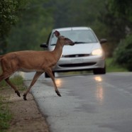
The number of deer-related accidents on Maryland roadways is steadily increasing, costing motorists more than $10 million annually and raising significant safety concerns. As deer populations and traffic volume continue to increase, the problem will become more costly and more widespread. Current mitigation measures (roadside reflectors, fender-mounted whistles) are being deployed by various state and local agencies in hopes of reversing the trend. However, these measures have yet to be proven effective in reducing deer-vehicle collisions. Before even more funds are spent, it is advisable to...
Read MoreCrossband Transponder: A System for Tracking and Monitoring Small Birds and Bats
Earthspan is working under a National Science Foundation grant to develop a new system that can track and monitor small birds and bats for multiple years.
Read MoreEarthspan tracks eagles rescued from mud pit
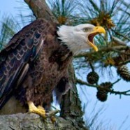
This project allowed Maryland state biologists to monitor the eagles post- release via satellite, and the resulting data revealed important information about the dispersal and habitat use of young eagles in the Chesapeake Bay. The tracking data was also be used as part of an innovative educational program in science and technology called Eye of the Falcon, which was being implemented in the Baltimore City School System. Earthspan, a Baltimore non-profit organization, worked with representatives from the Maryland Department of Natural Resources (DNR) to track four of the five surviving...
Read More
